|
||||
|
||||
|
|
||||
|
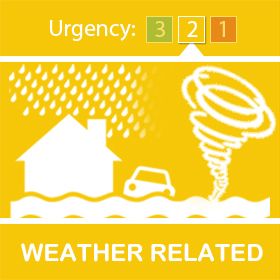
No weather warnings are currently in effect in the Scottish Borders, however yellow weather warnings for wind and for rain have been issued by the Met Office for Tuesday and Wednesday. Key information: More information: A spell of strengthening west or southwesterly winds is expected to affect Northern Ireland, north Wales, northern England and Scotland from Tuesday evening, associated with Storm Jocelyn. Winds are widely expected to gust to 55-65 mph, with a few exposed locations possibly seeing in excess of this. Outbreaks of heavy rain during Tuesday will see accumulations widely of 15 to 20mm, with 40mm over high ground of southwest Scotland. The heavier persistent rain will give way to blustery showers by evening. See the Met Office website for more information and maps of the warning areas. Updates will be issued as required. | ||||
Reply to this message | ||||
|
||||
|
|


|


|